Zillant drone flying through an underground mine gallery

Unmanned Aircraft System — Industrial Inspection & Monitoring

Autonomous inspection where GPS ends

The industrial drone with protective cage for autonomous inspection, scanning and monitoring — ruggedly constructed for flying in potentially dangerous, confined areas and GPS-denied locations, such as tanks, complex industrial facilities and more.

23 min
Maximum flight time
4 km
Mission flight range
70 m
LiDAR scanning range
3.1 kg
Maximum takeoff weight
01Advantages & technology

Built in-house, from electronics to flight software

Proprietary electronics, proprietary software, smart RTH, an active obstacle avoidance system and SLAM technology for GPS-denied navigation come together in one compact, caged platform designed for the harshest industrial interiors.

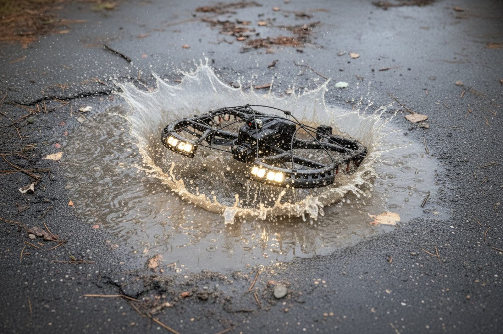
Drone landing on a wet, dusty surface
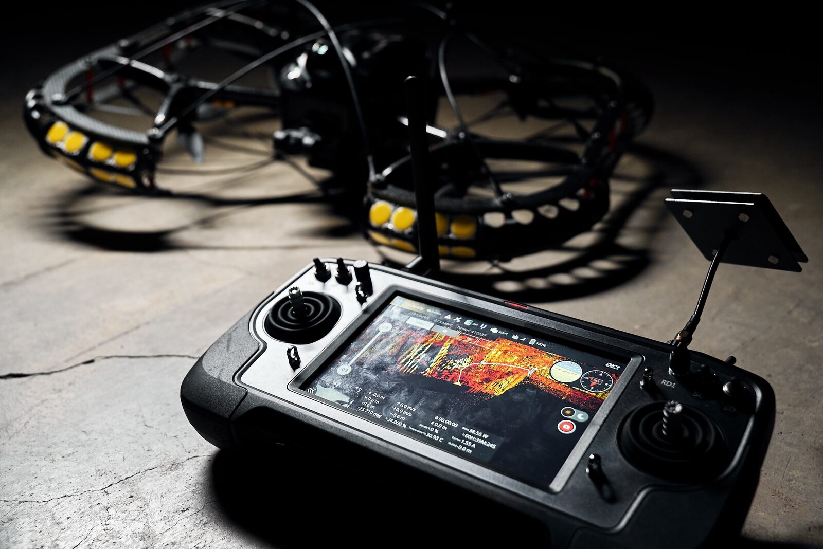
Ground control station screen during a mission
  • Autonomous planning, protective cage
  • Advanced sensors
  • Shockproof frame
  • Automatic flight with obstacle avoidance in confined areas without GPS
  • Operation in dusty and humid environments
  • Smart return-to-home
  • Free comprehensive operator training
  • Proprietary electronics and software
02Key functions

One flight, a complete inspection dataset

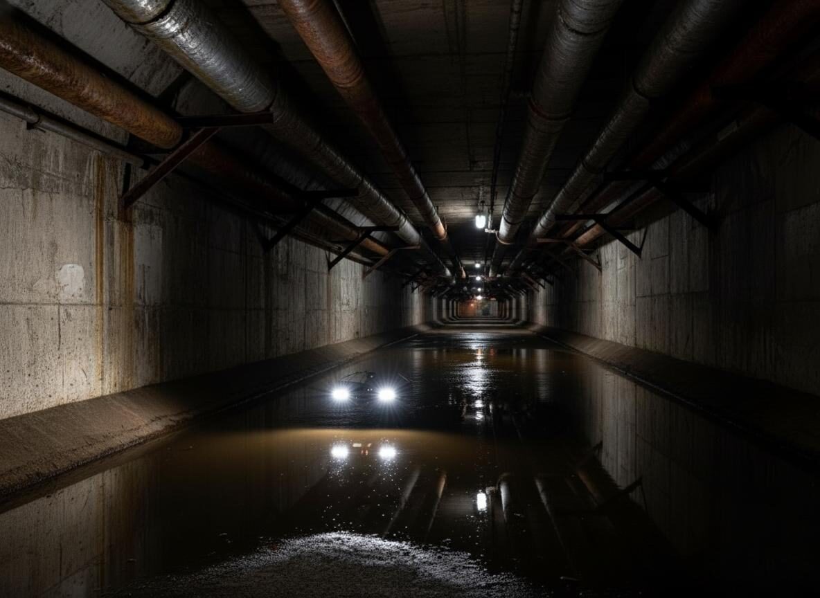
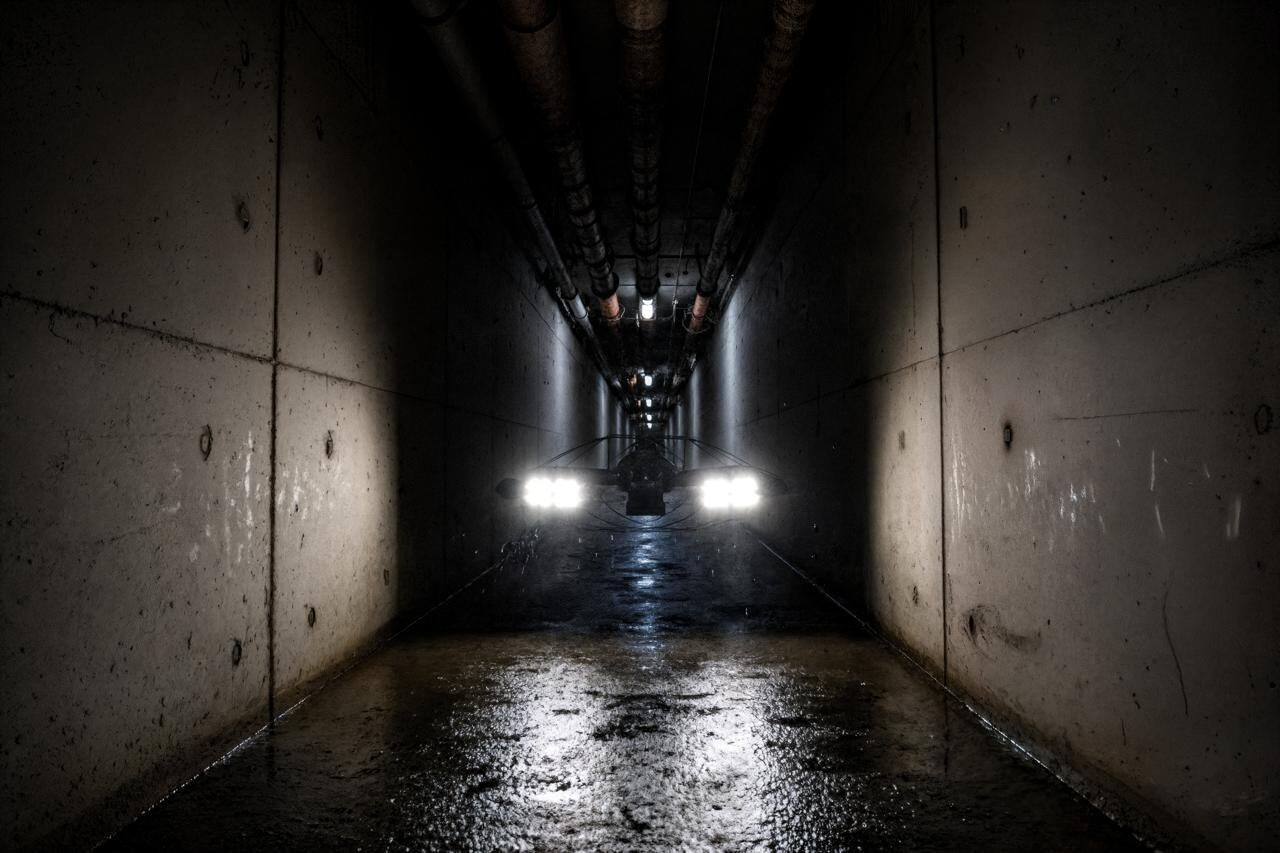
Underground utility tunnel interior
Drone inspecting pipework inside an industrial facility
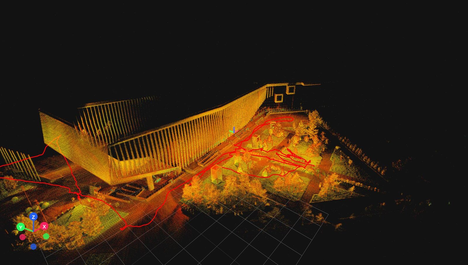
Coloured LiDAR point cloud of a scanned structure
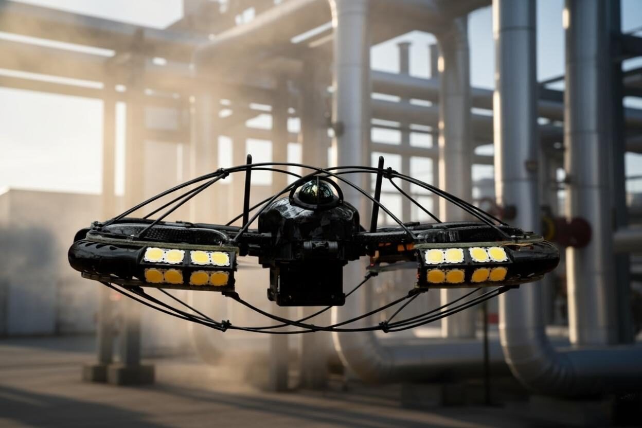
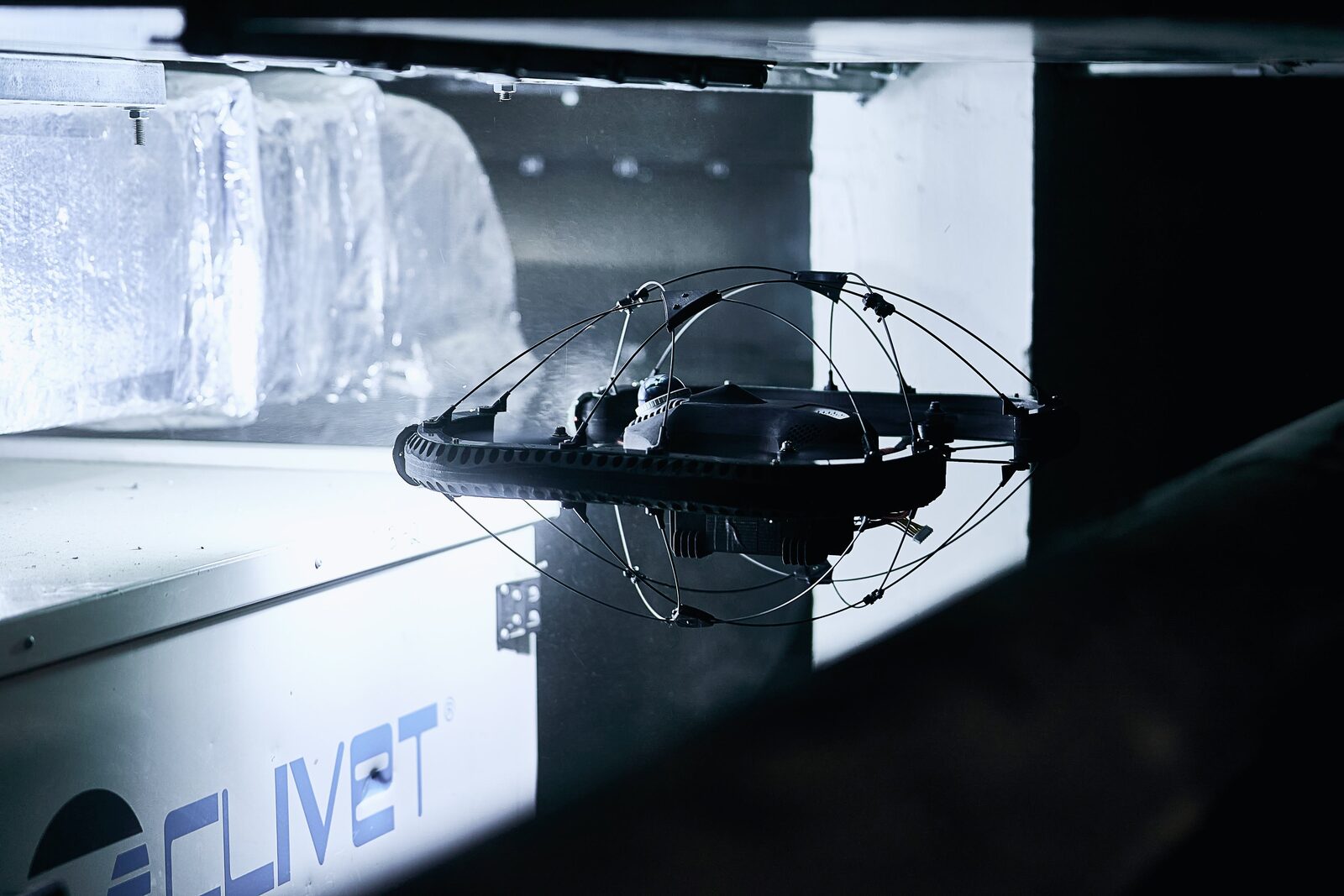
Close-up of the caged drone in an industrial hall
  • 3D modeling and scanning
  • Inspection of tank, pipeline and other structure tightness
  • Reduced inspection time and enhanced inspection efficiency
  • Enhanced workplace safety through remote monitoring
  • Gas analysis and atmospheric monitoring of enclosed and hazardous areas, with automatic shutdown in case of high gas concentration
  • Industrial equipment and infrastructure condition monitoring
  • Monitoring and maintenance of underground utilities
  • 4K gimbal camera, thermal imaging and gas analyzer payloads
03Industries & measurable effects

Deployed across heavy industry

  • Mining
  • Cement industry
  • Metallurgy
  • Oil & Gas
  • Chemical industry
  • Energy
90%
reduction in inspection time
60%
increase in data coverage and quality
85%
cost reduction
100%
reduction in workplace injury rate
200,000
pnt/sec LiDAR point density
360°
high-precision LiDAR scanning up to 70 m
04SLAM

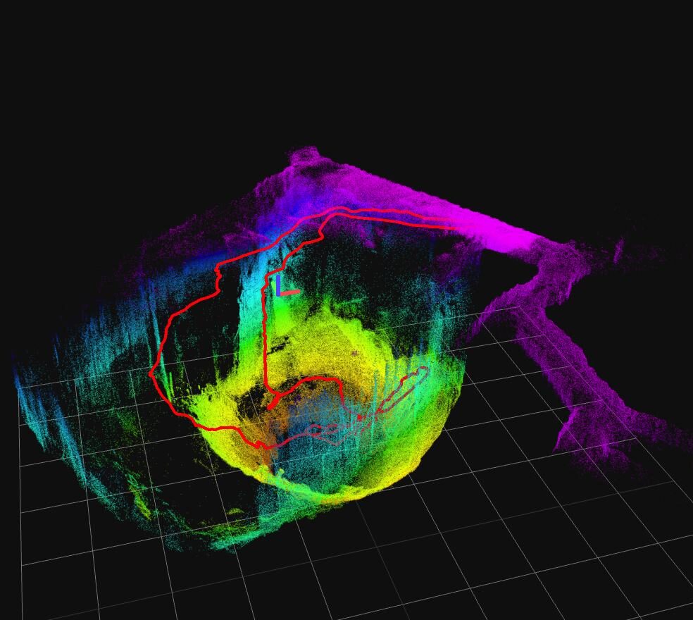
High-precision 3D maps, generated in real time

The integration of computer-vision and LiDAR technologies makes it possible to generate high-precision 3D maps in real time, even in the most complex and confined areas — including tunnels, mines and high-altitude zones.

  • Navigation

    SLAM (LiDAR + IMU), GPS-free

  • Point density

    up to 200,000 pnt/sec

  • Obstacle detection

    active, 360° LiDAR

  • Flight autonomy

    waypoint-based missions

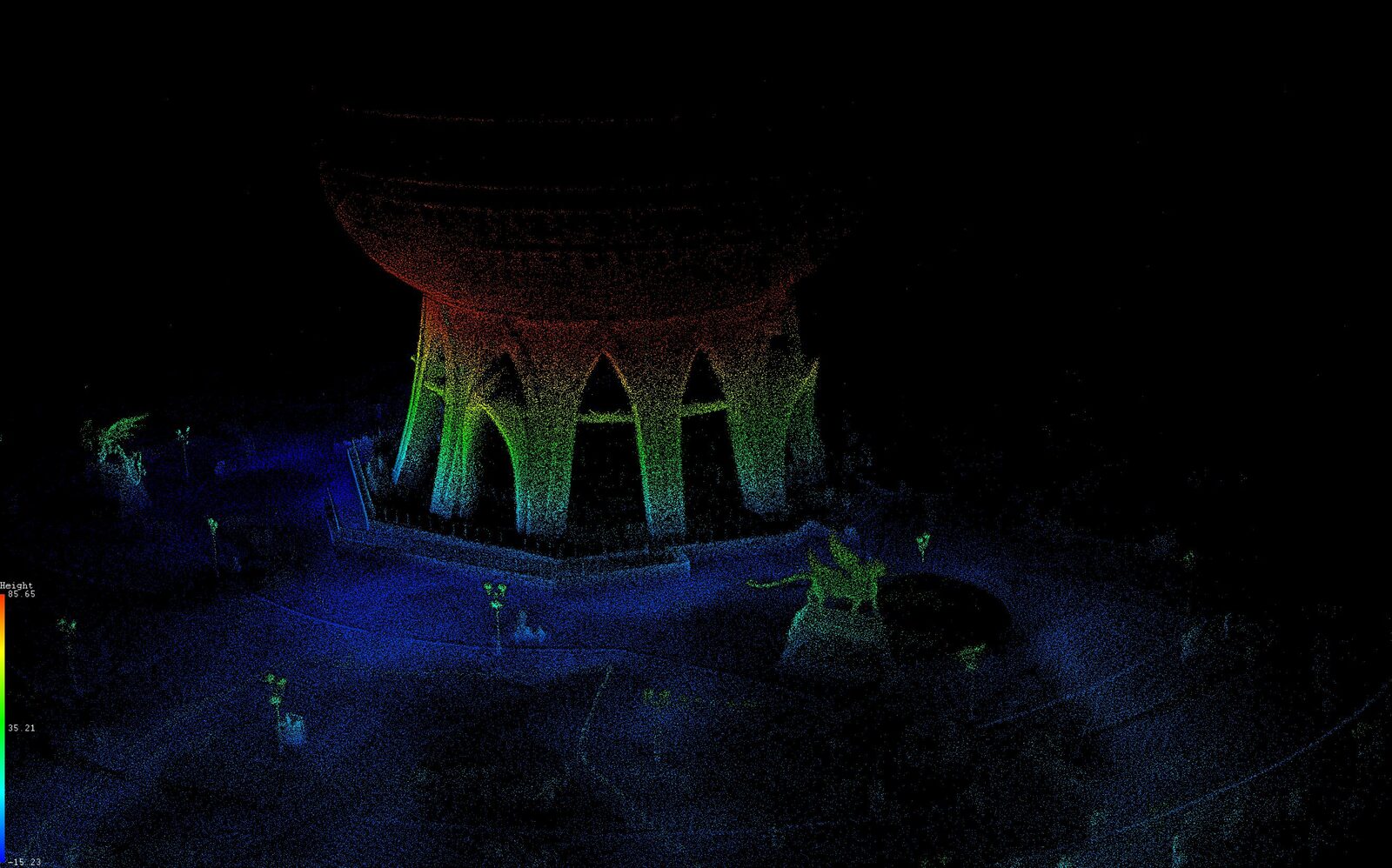
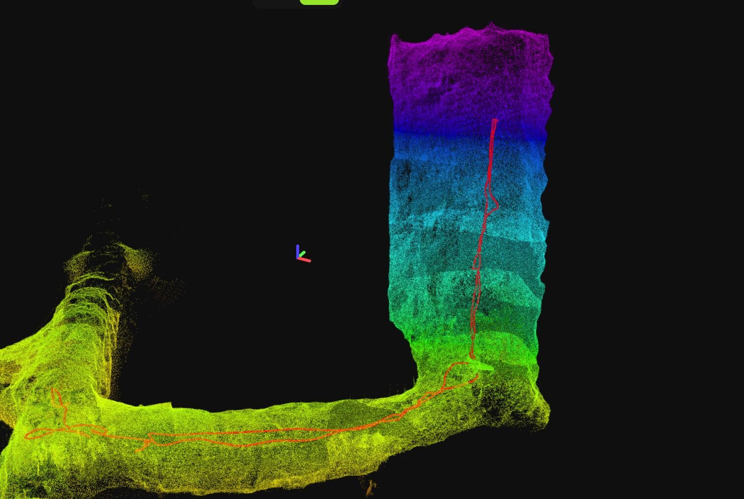
Real-time LiDAR point cloud of a tall industrial structure coloured by height
05UAV use cases

From raw point cloud to engineering decision

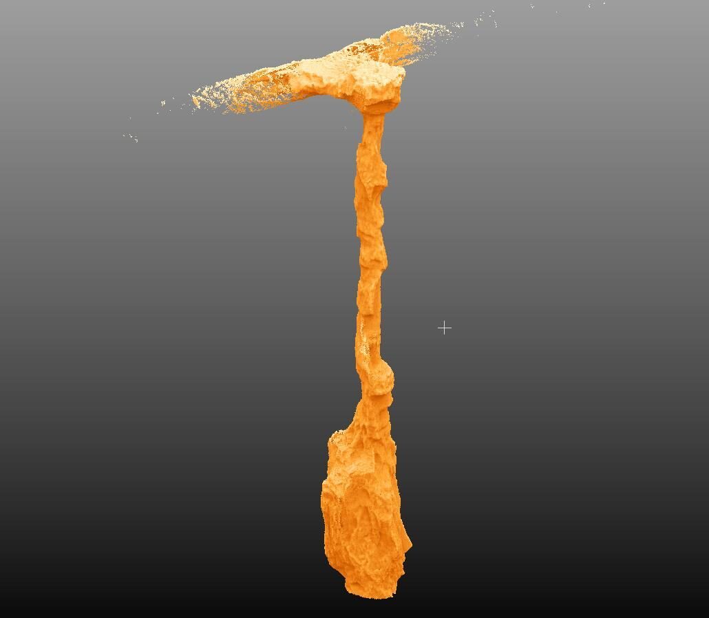
  • 3D Mapping of Industrial Structures

    3D Mapping of Industrial Structures

  • Vertical Shaft 3D Mapping

    Vertical Shaft 3D Mapping

  • Underground Tunnel 3D Mapping

    Underground Tunnel 3D Mapping

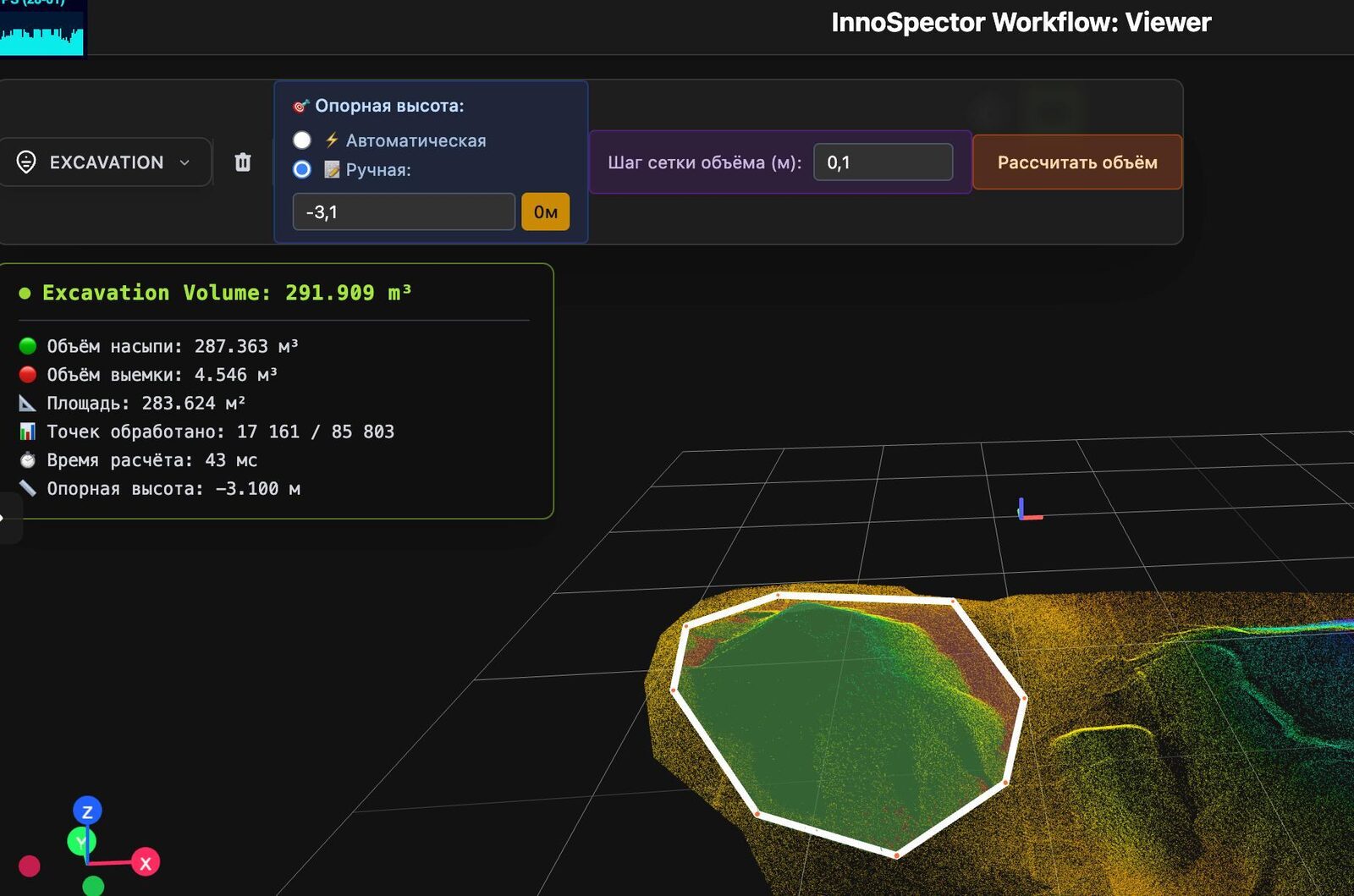
  • Excavation Volume Measurement

    Excavation Volume Measurement

  • Industrial Asset 3D Scanning

    Industrial Asset 3D Scanning

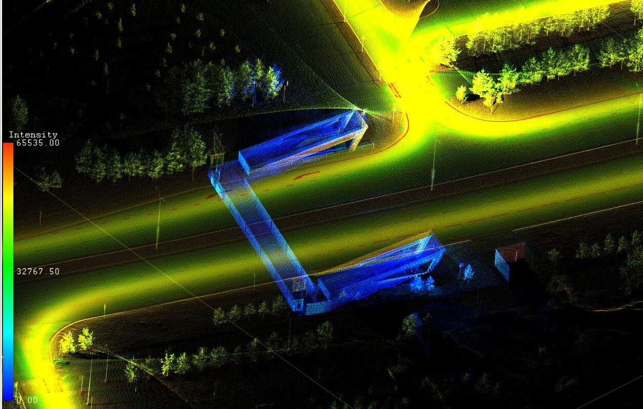
  • Underground Utility Tunnel Inspection

    Underground Utility Tunnel Inspection

  • 06Application scenarios
    Infrastructure, Construction and Utilities
    01

    Infrastructure, Construction and Utilities

    Utility tunnels and sewers, ventilation shafts, subways and other underground facilities — an unmanned system provides remote condition monitoring and significantly speeds up the inspection process.
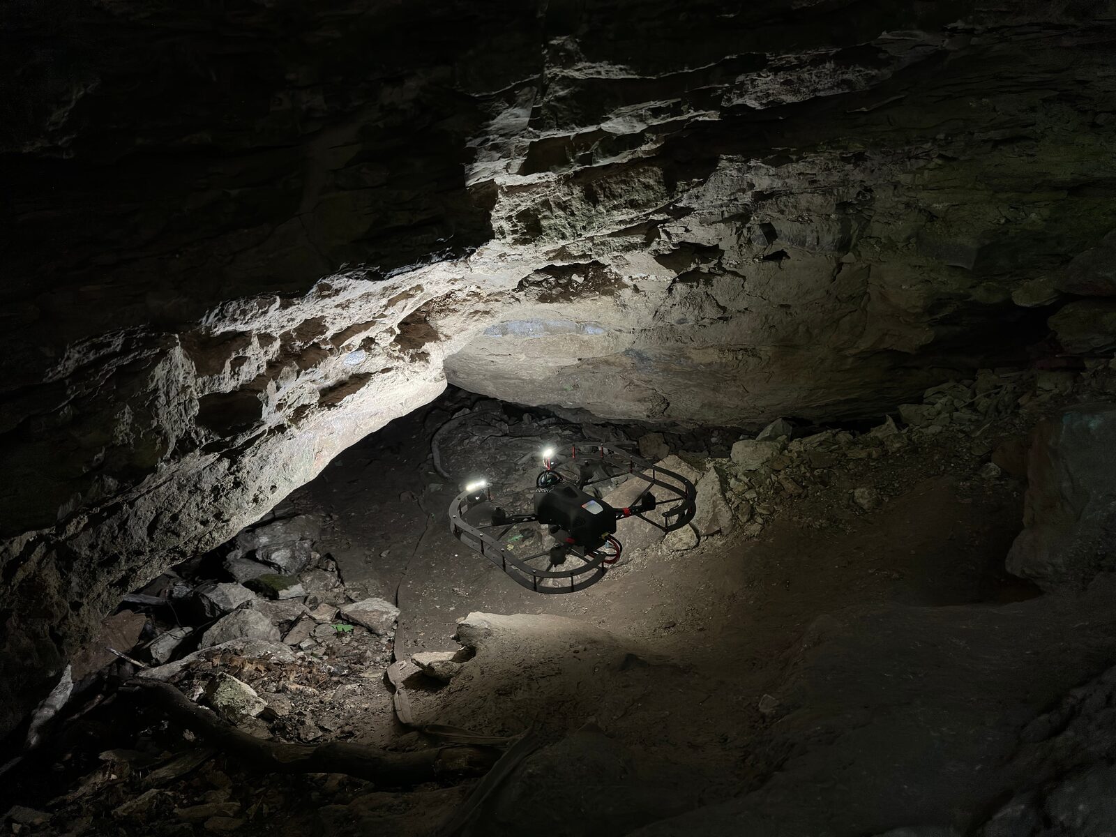
    Mining Industry
    02

    Mining Industry

    Drones with LiDAR scanning, gas analysis and visual monitoring capabilities significantly improve the safety, productivity and effectiveness of mining operations. They can inspect hard-to-reach areas, create accurate maps of mine workings, and check resource reserves and equipment condition.
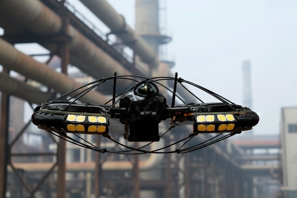
    Oil and Gas Industry
    03

    Oil and Gas Industry

    Zillant can be used to monitor tanks, pipelines, distillation columns and cracking units on an ongoing basis. A variety of modules provide control from visual inspection to digital twins and 3D models.
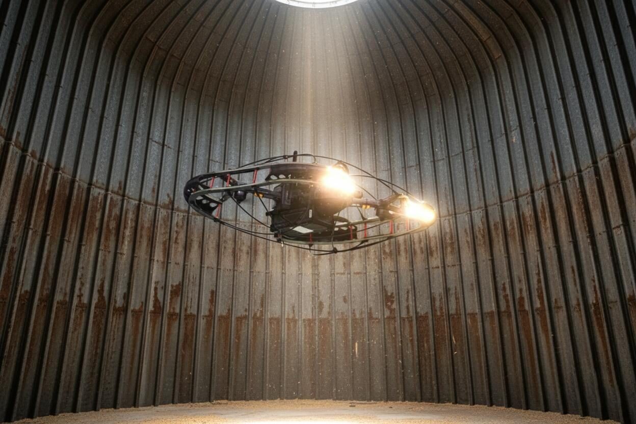
    Energy Facilities
    04

    Energy Facilities

    Boilers, furnaces, tanks, chimneys, flues, pipes, turbines, cooling towers and other objects require visual or thermal imaging monitoring. The drone's compact size provides versatility for most types of power plants.
    07Specifications

    Technical specifications

    Overall dimensions
    L 480 mm × W 580 mm × H 177 mm
    Maximum flight time
    23 min
    Maximum flight range for a mission
    4 km (depending on the area conditions)
    Maximum flight length
    2.5 km
    Maximum takeoff weight
    3.1 kg
    Basic payload
    Livox Mid-360 LiDAR, 4K stabilized gimbal camera
    Additional sensors
    Gas analyzer, thermal imaging camera
    Navigation
    SLAM based on LiDAR and free-inertial navigation systems
    Light
    LED spotlights
    Obstacle detection and avoidance
    Active (360° LiDAR); collision avoidance mode; waypoint flight with obstacle avoidance
    LiDAR point density
    up to 200,000 pnt/sec
    LiDAR range
    up to 70 m
    Flight autonomy
    Autonomous mission flights based on waypoints navigation
    IP rating
    IP53
    RTH
    Automatic (in case of communication lost)
    Operating temperature range
    −20 °C to +55 °C
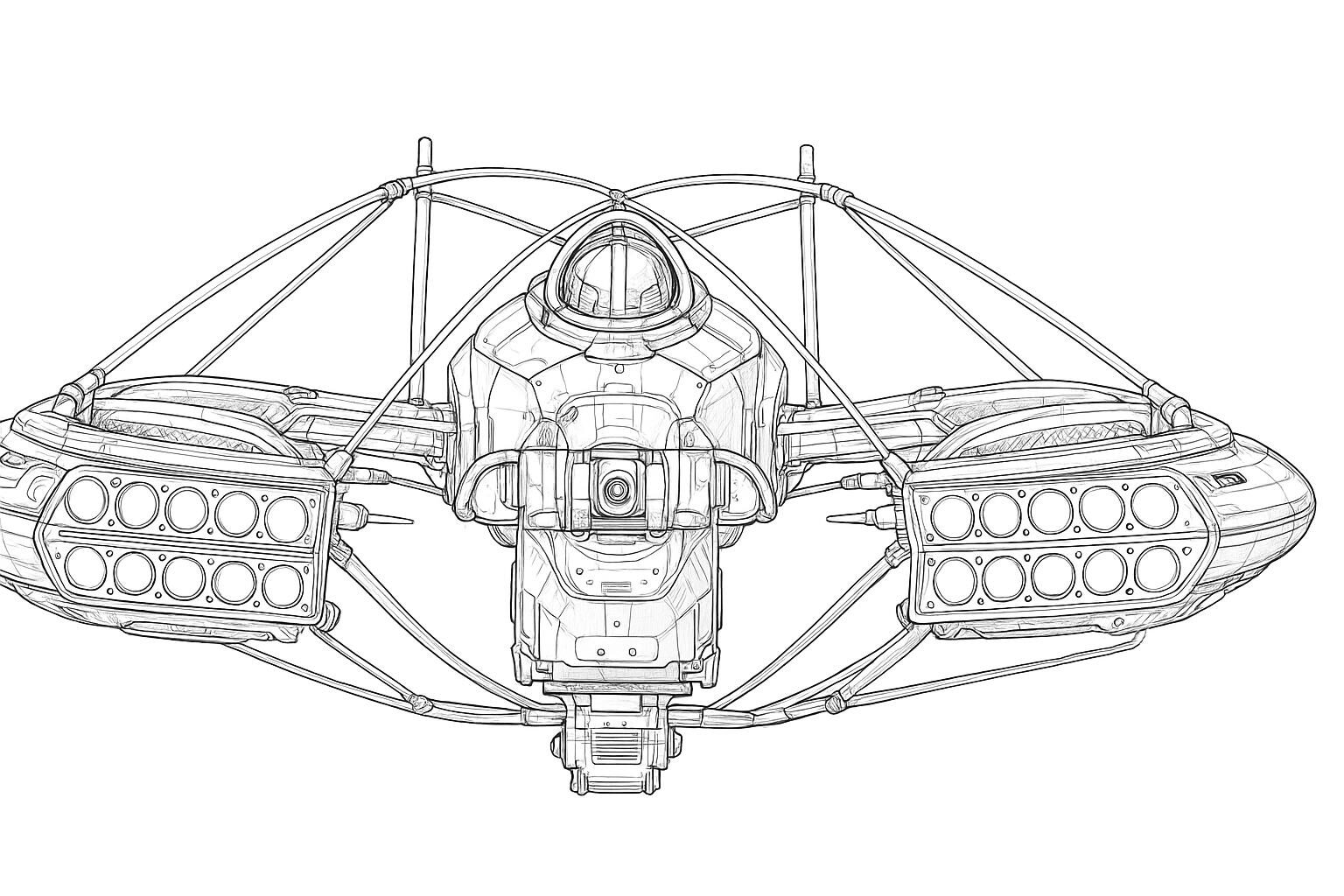
    Technical line drawing of the Zillant airframe
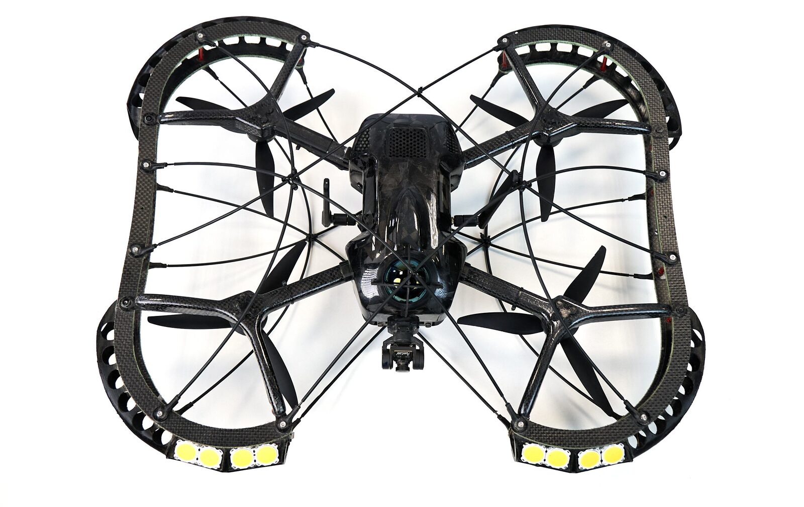
    Top view of the Zillant drone showing the protective cage
    • 580 mm

      width

    • 480 mm

      length

    • 177 mm

      height

    08Demonstration stages

    How a pilot demonstration runs

    1. 01

      Selection and coordination of the survey object

    2. 02

      Formation of testing procedure

    3. 03

      On-site pre-flight preparation

    4. 04

      Flight execution and data collection

    5. 05

      Processing and analysis of results

    6. 06

      Software demonstration and introductory briefing

    7. 07

      Final report with recommendations

    8. Output
      • On-site operational verification
      • Digital data: video, point cloud, 3D model
      • Performance and efficiency assessment
      • Cost/risk optimization & UAS deployment
    10Contact

    Let's fly your facility

    Tell us about the object you need surveyed — a tank, tunnel, shaft, furnace or plant — and we will prepare a demonstration programme with a final report and recommendations.

    Request a demonstration

    info@zillant.com
    ZILLANTUnmanned Aircraft System for Industrial Inspection and Monitoring